
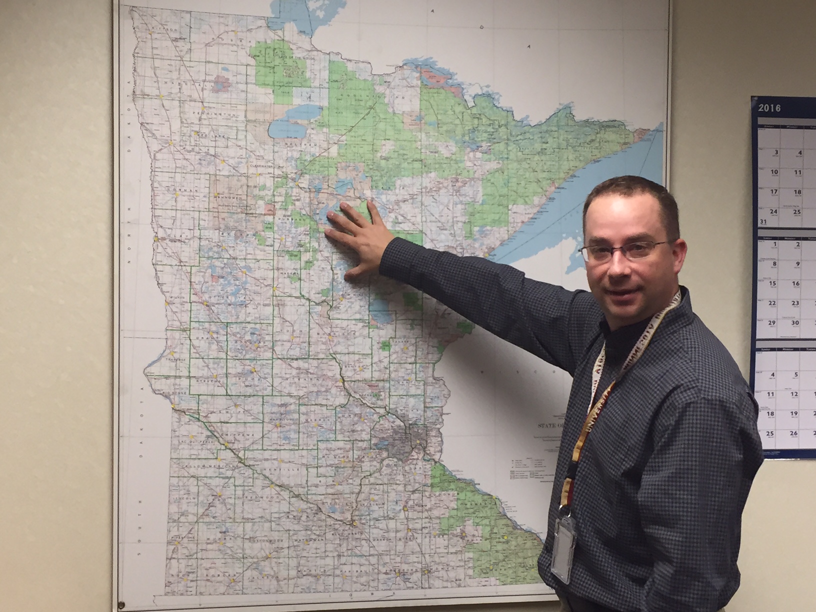
Jeff Bloomquist, Minnesota Farm Service Agency (FSA) Geospatial Information Systems (GIS) and Emergency Management Coordinator, is serving his second-consecutive federal appointment on the Minnesota Statewide Geospatial Advisory Council.
Jeff Bloomquist, Minnesota Farm Service Agency (FSA) Geospatial Information Systems (GIS) and Emergency Management Coordinator, was recently appointed to serve on the Minnesota Statewide Geospatial Advisory Council.
The council is a state government initiative made up of a cross-section of stakeholder groups that advise the Minnesota Geospatial Information Office (MnGeo) on ways geospatial technology can improve state government services. The council also highlights individuals who are making great contributions to GIS across the state. They provide a platform for individuals to present their work and receive achievement awards.
Appointment to the council is a competitive process; candidates must compete with other federal candidates across the state to be appointed by the governor to serve a two-year term. Bloomquist is serving his second-consecutive federal appointment.
As a whole, the council focuses on promoting investments in geospatial information, making the information a shared public resource, establishing GIS standards and guidelines and educating policy makers on the value of the technology. The council also stays in communication with geospatial sectors and stakeholders in order to provide an educational component.
During 2015, the council officially launched the Minnesota Geospatial Commons website, a project the council spearheaded that consolidated state GIS information to one website intended for public use.
The goal of the website is to provide a centralized resource for the wide variety of geospatial data, services, information and news in Minnesota. On the website, users can find, view and download data, publish metadata and data, and use web services and applications. As of December 2015, more than 500 geospatial resources are available using GIS technology.
“My goal is to get better coordination and communication between all the federal GIS representatives over the next two years of my appointment so that the federal side is more involved with the State Geospatial Advisory Council,” said Bloomquist. “I want to help better leverage geospatial investments across all sectors of government and share applicable knowledge and processes. It is great to have the opportunity to discuss and share ideas on a professional level about how to use GIS and any data that comes along with it to make mapping easier and more accessible.”
During Bloomquist’s initial appointment on the council, he watched the state and county government come together to share data and make better decisions. Through advocating for both parcel standardization and publically available data, the Minnesota geospatial community is working towards a very progressive and responsive process for providing geospatial data to the state. The parcels offer a key component in allowing the public to work with and develop other geospatial information based on the parcel layers each county is maintaining.
The advisory capacity and collaborative work on the council provides members an opportunity to help guide and develop standards and data that support the Minnesota geospatial community. Through the process, members can improve their organization, shape policy and make recommendations that improve the overall use and implementation of GIS data and technology by advocating best practices.
Stayed tuned to Fence Post for more stories on how GIS is shaping FSA.
Questions? Contact Shirley Hall, FSA GIS Program Manager


